Tellus Border was succesfully completed in 2013 - for current Tellus news please visit www.tellus.ie
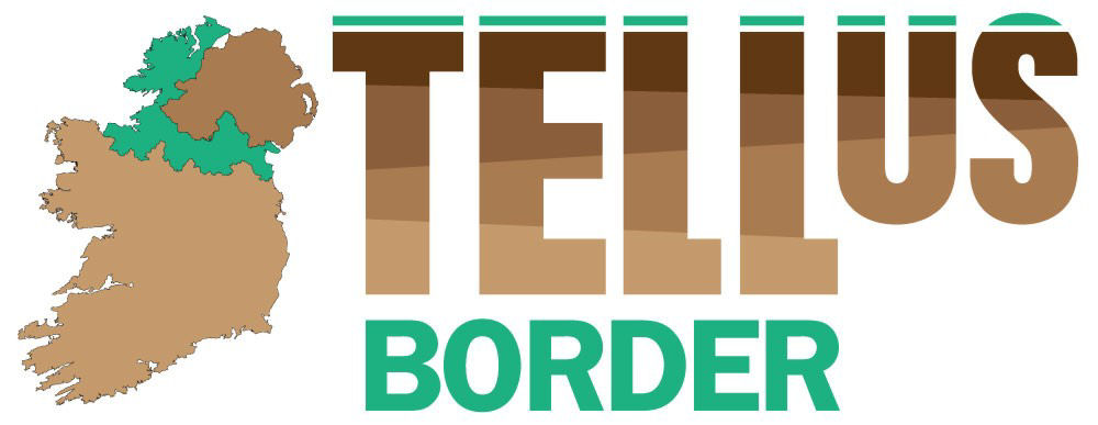
Tellus Border was an EU INTERREG IVA-funded regional mapping project collecting geo-environmental data on soils, water and rocks across six border counties - Donegal, Sligo, Leitrim, Cavan, Monaghan and Louth - and continuing the analysis of existing data in Northern Ireland. The project was a cross-border initiative between the Geological Survey of Northern Ireland, the Geological Survey of Ireland, Queen’s University Belfast and Dundalk Institute of Technology.
Information from the project is assisting environmental management and is supporting sustainable development of our natural resources in the border region. The project was a follow-on from the Tellus project successfully completed in Northern Ireland.
Tellus Border was funded by the INTERREG IVA programme of the European Regional Development Fund, which is managed by the Special EU Programmes Body (www.seupb.eu). The project was additionally part-funded by the Department of Environment, Community and Local Government (Ireland) and Department of the Environment (Northern Ireland).
Latest News
|
Fraser Institute ranks Ireland fourth in world as a place to invest in mining
06/03/2014 -GSI’s data is supporting global interest in mining investment in Ireland; now ranked second in world for quality of geological databases Canada’s ... |
|
Winter edition 2013 newsletter
08/01/2014 Highlights include the Results and Research conference which showcased the outputs of the project in October 2013. Although the EU INTERREG IVA gr... |
|
Tellus Border Results and Research Conference
13/11/2013 The outputs of Tellus Border were presented at the Tellus Border Results and Research Conference held at the Hillgrove Hotel, Co. Monaghan on 24th... |
|
Tellus continues into 2014
13/11/2013 The Director of Geological Survey of Ireland, Koen Verbruggen, has announced that Tellus will continue as a programme area in the GSI during 2014 ... |
|
Tellus Border website maintenance
10/07/2013 Tellus Border website may be down on the 11/07/2013 due to essentail maintenance |
|
Newsletter-Summer 2013 edition now released
31/05/2013 Initial findings of Tellus Border Project Revealed, Ten contracts awarded for applied research on Tellus and Tellus Border data, Oriel Select... |
|
Ten contracts awarded for environmental and natural resources research on Tellus and Tellus Border data
02/05/2013 Following a tender process, the Geological Survey of Northern Ireland was pleased to award ten contracts for environmental and natural resources r... |
|
Website Maintenance
18/04/2013 Due to essential website maintenance, the tellus border viewer and other key services of the Tellus Border website will not be available from the 19th... |
|
Tellus Border Fire Assay RFT
26/03/2013 The Tellus Border Project would like to invite responses to a Request for Tender for fire asay analyses of the stream sediment samples. Analyses of go... |
|
Geophysical Data now released
06/02/2013 Geophysical magnetic and radiometric data has been released on 5th February 2013. Topsoil geochemical data is available to view from the TellusBorder... |
|
Newsletter winter 2012 edition now released
08/01/2013 The Winter edition 2012 newsletter is now available. Highlights include:the completion of the airborne geophysical survey,mapping of new data,the publ... |
|
TENDER FOR SCIENTIFIC RESEARCH SERVICES USING THE TELLUS BORDER AND TELLUS DATASETS
17/12/2012 The Geological Survey of Northern Ireland invites tenders for scientific research applications of existing Tellus and NEW! Tellus Border data sets.... |
|
Tellus Border Strikes Gold for Communications Excellence
09/10/2012 The communications team behind the Tellus Border Project has picked up a top industry award for excellence in communications at the CIPR Northern I... |
|
Tellus Border features on Nationwide
03/10/2012 The Tellus Border team was delighted to feature on RTE 1’s Nationwide on 25 July 2012. Filmed on location at Enniskillen airport and at Glencar, Co. ... |
|
Tellus Border Research Assistant position
13/08/2012 We are pleased to announce a Research Fellow/Assistant position at Queen's University Belfast. As part of t... |
|
PRide Awards
07/08/2012 The Tellus Border Project has been shortlisted in two categories of the PRide Awards run by the Chartered Institute of Public Relations (Northern Irel... |
|
End of Airborne Survey
23/07/2012 Tellus Border Airborne Survey Touches Down for the Final Time. Having flown almost 60,000km - equivalent to one and a half times around the world-the ... |
|
Summer Newsletter 2012
20/06/2012 The Spring/Summer 2012 newsletter is now available. Highlights include the completion of the geochemical surveys and Tellus Border's first annual tech... |
|
Geochemical survey complete
20/06/2012 Pupils from St Mary’s Boys National School Drogheda (Malik Luzha, Jayson Gill and Lorcan Downey), assisted Minister for Natural Reso... |
|
Geoscience 2012
03/04/2012 The Geoscience 2012 conference "From Research to Jobs" will take place in Dublin Castle on the 19th of April 2012. Please see the events page for full... |
|
Tellus Border Open Day
21/03/2012 Families will have a one-off opportunity to get up close to cutting-edge geoscience, as the Tellus Border Open Day lands at St Angelo Airport Enni... |
|
Sample presentations given by the Tellus Border team
21/03/2012 Please click on the links below to see a sample of Tellus Border presentations given to date:Presentation to the North South Ministerial Council Doneg... |
|
Sream and Sediment Sampling Begins in Louth in March
14/03/2012 Focus on Water as Third Phase of Tellus Border Gets Underway - Stream and Sediment Sampling Begins in Louth in March. Please click here for more infor... |
|
Tellus Border Airfield Open Day Announced
06/03/2012 The Tellus Border Airfield open day is scheduled for 31st March 2012, between 14.00 and 16.00. The Tellus Border Open Day will take place at St. Angel... |
|
Press Release
17/02/2012 Press ReleasesEnd of Airborne SurveyBT Young Scientist Exhibition Christmas UpdateAirborne Survey Soil Sampling: Leitrim/Sligo Soil Sampling: Donegal... |
|
Geochemistry Sample Prep and Analysis RFT
04/01/2012 Request for tender, for the sample preparation and analysis of soil, stream sediments and stream waters for the Tellus Border geochemistry programme a... |
|
Tellus data key to research
04/10/2011 Michael Dempster is a PhD student at the School of Environmental Sciences at the University of Ulster. His research area is using statistical analy... |
|
Appointment of New Project Manager
28/09/2011 Congratulations to Marie Cowan who has recently been appointed Project Manager for the Tellus Border Project. Marie is a principal scientific offic... |
|
Award of Stream Sediment and Waters tender
26/08/2011 Congratulations to OCAE Consultants Limited on winning the Tellus Border Stream Sediment and Waters tender. |
|
Postdoctoral Research Assistant Wetland Aquatic Ecology
26/08/2011 Applications are invited for a Postdoctoral Research Assistant position at the Centre for Freshwater Studies, Dundalk Institute of Technology (DkIT... |
|
Assistant Geochemist Position for the Tellus Border Project
10/08/2011 A circa four month Assistant Geochemist contract has become available on the Tellus Border project. Please click the following link to apply: http://w... |
|
Commencment of Geochemistry Soil Survey
10/08/2011 The Geochemistry soil survey commenced on the 4th of August 2011. There will be four teams, each consisting of two people. Currently, the surveyin... |
|
Award of Soil Sampling Contracts
27/07/2011 Congratulations to OCAE Consultants Limited on winning the tender for the Soil Sampling Services in connection with the Tellus Border Project. |
|
Award of Airborne Contracts
25/07/2011 Congratulations to Sander Geophysics Limited (SGL) on winning the tender for the airborne geophysical survey for the Tellus Border project. |
|
Successful Tellus Border launch event
25/07/2011 A very successful Tellus Border launch was held in Cavan Crystal Hotel on the 4th of July, 2011. Key speakers at the launch included, Minister Pat ... |
|
Requests For Tender
24/06/2011 Requests for tender, for the soil, water and sediment sampling for the Tellus Border geochemistry programme are now advertised on the etenders webs... |